2020

28 • 09 • 2020
Open Access Information on Forest Areas – Support in Forestry and Recreation Activities
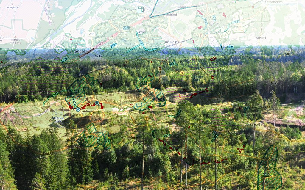
The amount of open access data on forest areas has grown significantly. Currently, geographical information has already been published on 1 273 753 forest plots, and covers almost 65% of the total forest area in Latvia or 1 966 895 hectares.
Forest owners and managers have also joined the initiative of JSC “Latvia's State Forests” (LVM) on the publication of geographical information on forest territories. In general, it discloses (to any interested party) cartographic information about the location, address, land category, owner or manager of forest plots.
“The publishing of information about forest areas on maps is an initiative started by LVM. For forest owners and managers who manage at least 300 ha of forest, it is a free service to promote mutual cooperation, transparency and development of the industry,” says Māris Kuzmins, LVM Business Systems Solutions Director.
The availability of such information promotes more efficient forest management, which is also a self-regulatory mechanism: forest managers or owners can inform each other about any irregularities, coordinate access routes and storage locations, facilitate purchase and exchange transactions, and plan forestry work. In turn, for Latvian residents this open access data makes it easier to plan recreation in nature. On LVM GEO maps, you can clearly see the forest territories belonging to the State of Latvia, where everyone has an opportunity to go berry or mushroom picking, and choose a place for a picnic, a camp-fire or pick their Christmas tree.
The benefits of data publication are also highly valued among forest managers. Mārtiņš Līdums, Director of Forest Research Station: “With the published data, the operator has convenient and efficient communication with any third party in connection with the identification of the managed facility, specific forest area, road or ditch route, as both parties share the same information “platform”. Along with the features provided by the LVM GEO application, for those owners who do not have their own geographical information planning support system, such free access data about their facilities is useful in daily work and planning. We have also noticed that if it is clear to a person that a specific facility belongs to a particular owner, it largely disciplines the behaviour of this “third party” while in the facility.”
“The availability of such data ensures that it is easier for hunters to enter into hunting lease agreements and to receive information promptly if a property has a new owner who uses LVM GEO services. Often, local residents, seeing the name of the owner on LVM GEO maps, have contacted us and agreed on the possibility to collect firewood in felling sites,” says Rihards Ķepītis, Manager of SIA “Greyton”.