News
You are here: News  Archive Archive 2017 Forest Managers Publish the Boundaries of Land Units and Forest Compartments
Archive Archive 2017 Forest Managers Publish the Boundaries of Land Units and Forest Compartments19 • 09 • 2017
Forest Managers Publish the Boundaries of Land Units and Forest Compartments
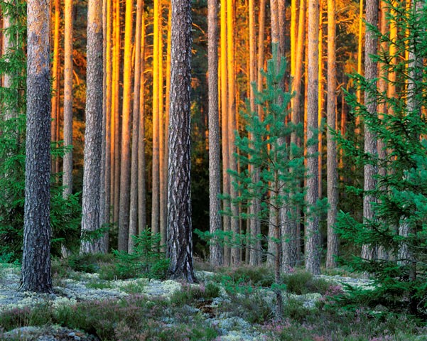
JSC "Latvia's State Forests", LLC "Latvijas Finieris mežs" and LLC "Bergvik Skog", companies which own and manage almost 30% of the territory of Latvia, have decided to publish and make freely available the geospatial information about their land units and forest compartments.
Land properties and forest compartments therein, which are maintained by the State Land Service and the State Forest Service respectively are the basic units used for planning of the economic activity of a forest management company. Receipt of the geospatial and descriptive information on land units from the State Land Service is a chargeable service, thus acquisition of the information on their land property is a significant financial burden to the large landowners. The limited availability of information on land units and forest districts complicates business activities, business cooperation and information exchange options, as well as restricts the development of IT solutions based on these data, which would promote economic activity and economic efficiency of scompanies of different sectors.
JSC "Latvia's State Forests" (LVM) has been developing the Geospatial Information Technologies (GIT) for many years now and supporting one of the largest GIT platforms and geospatial databases in Latvia. LVM's GIT platform and services are also used by such important forest management companies as LLC "Latvijas Finieris mežs" and LLC "Bergvik Skog". The use of a single platform and cooperation allows companies to interact more effectively with each other, to address issues of system development and data availability, represent the interests of companies in the field of geospatial data and technologies in the country and to cooperate more effectively with service providers.
Companies believe that any resident and company in Latvia should have free access to the information about the boundaries of land units, owners of land units, as well as the boundaries of forest compartments.
Geospatial data are freely available to anyone interested:
- On the website of JSC "Latvia's State Forests" Geospatial Information Technologies: http://www.lvmgeo.lv/dati
- Latvian open data portal: https://data.gov.lv/lv